[LUM#16] Before the Flood
Since they cannot be predicted, the Cévenol storms that strike the Mediterranean arc almost every year cause significant loss of life and property damage. An ambitious initiative involving a nanosatellite, a ferry, and a few bright minds could well be a game-changer as early as 2023.
October 15, 2018: Torrential rains pounded the Aude department overnight. The toll was heavy: 13 dead (France Bleu Occitanie). As early as 2015, 20 people had lost their lives in Mandelieu-la-Napoule, including about ten who were trapped in their cars by the sudden rise in water levels (France Bleu Azur). How can we explain the occurrence of such violent and sudden storms? They result from a clash between warm, humid air masses from the sea and cold air at higher altitudes coming from the Cévennes—hence their name: “Cévenol episodes.”
“By detecting these masses of warm air as soon as they form over the ocean and using a very fast data transmission system, we could better anticipate these events and better protect the population,” explains Laurent Dusseau*. And to carry out this mission, the director of the Montpellier University Space Center (CSUM) already has his flagship! Robusta 3A Méditerranée, a 30-centimeter-tall nanosatellite, was designed entirely by the CSUM with the help of more than 150 students, apprentices, and interns since 2013 and with support from the Van Allen Foundation, a partner foundation of the University of Montpellier.
Mobile Sensors
Detecting moist air masses is nothing new. Météo-France, a partner in the project, already has sensors that use signals emitted by the global navigation satellite systems (GNSS) in our phones. “The presence of water in the atmosphere alters these signals and makes it possible to calculate the amount of water vapor at a given location T, ” explains Laurent Dusseau. As a result, there are more than 800 humidity sensors on French soil. They’re on land but not at sea, where the air masses responsible for Cévenol episodes form.
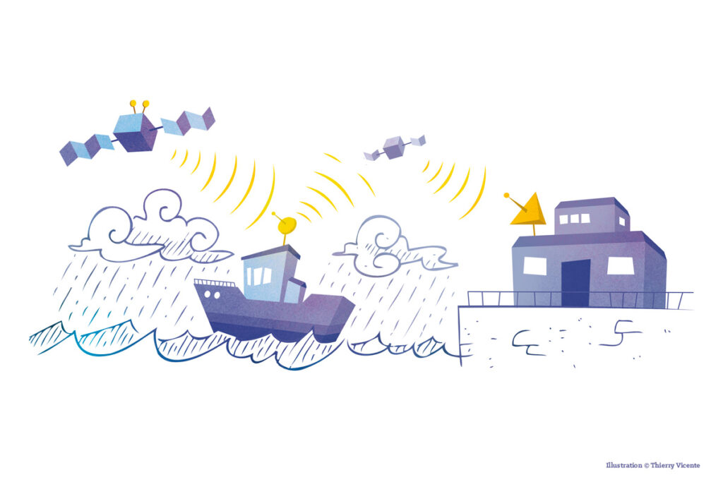
To collect this data offshore, researchers will install one of these sensors aboard a ferry sailing the Mediterranean from Sète. It’s a simple idea for a major technological challenge being tackled by the École nationale supérieure de techniques avancées (ENSTA Bretagne) and the Institut national de l’information géographique et forestière (IGN), both of which are involved in the project. “The fact that the sensor is mobile introduces many more variables, such as the movement of the waves or the boat,” explains Laurent Dusseau. “A thesis is currently being written at ENSTA on this topic.”
Data Freshness
Second technological challenge: the speed and timeliness of the data. “For the information captured by Robusta to be valid, we’ll have to demonstrate that we can process it and send it back to end users within an hour—an hour and a half at most.” ” The end users? Météo-France, of course, but also the Hérault Departmental Fire and Rescue Service (SDIS 34), which joined the project last fall.
Robusta 3A, for its part, continues to prepare for the big launch : “The prototype has passed the Critical Design Review, which means that the entire satellite design has been validated. “We are now in the testing phases.” Scheduled for late 2022, the nanosatellite’s launch will mark the beginning of a journey that will take it over the Mediterranean twice a day for a year. And what’s next? “In space, you have to be humble; we’ll see how Robusta 3A performs, and if it allows it, yes, we’ll continue the experiment,” concludes Laurent Dusseau.
Check out theUM podcasts, now available on your favorite platform (Spotify, Deezer, Apple Podcasts, Amazon Music, etc.).
*IES (UM –CNRS)